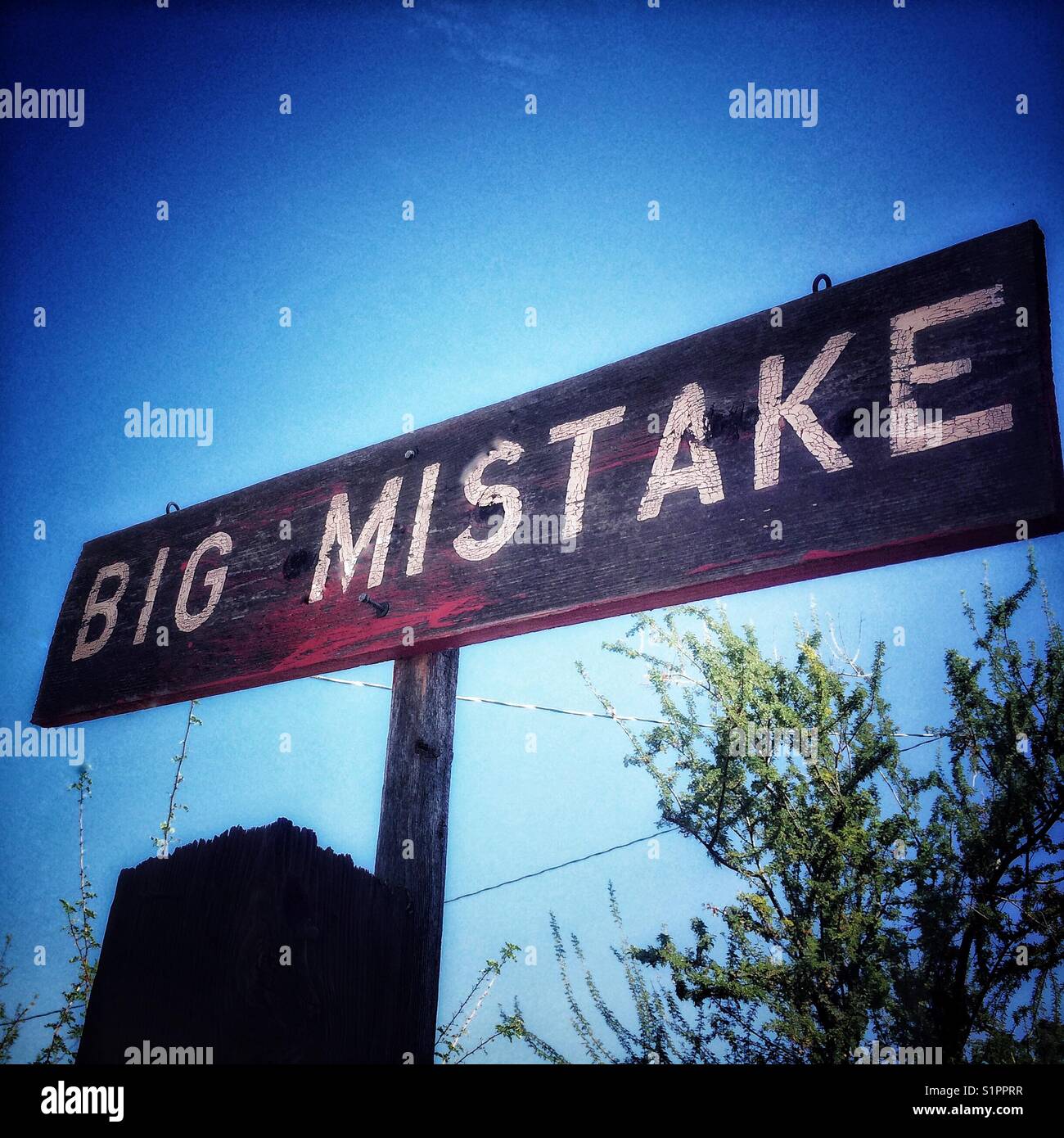
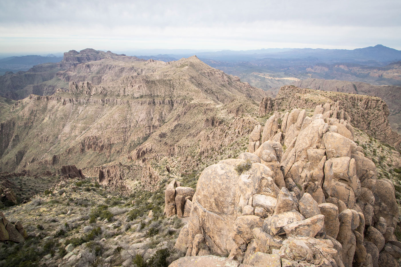
Mistake Peak is a summit in Gila County, in the U.S. state of Arizona. It has an elevation of 5,930 feet (1,807 m) and a prominence of 150 feet (46 m). Mistake Peak was likely so named because it was mistaken by surveyors for another summit. Mistake Peak has been noted for its unusual place name.
References
![]()