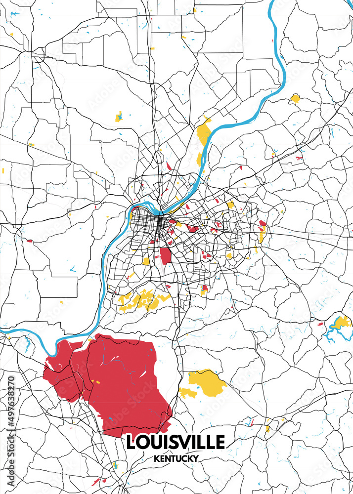
The roads in Louisville, Kentucky, include Interstates 64, 65 and 71, with an interchange in the city center. There are six U.S. highways serving the city. Two beltways surround Louisville.
Interstates
U.S. Highways
State routes
- Notes
Renamed streets
See also
- Transportation in Louisville, Kentucky
- Transit Authority of River City (TARC)
- Ohio River Bridges Project
- List of numbered highways in Kentucky
- Kentucky Transportation Cabinet
References
- Kentucky Transportation Cabinet, State Primary Road System, Jefferson County
Further reading
- Kleber, John E., ed. (2001). The Encyclopedia of Louisville. Lexington, Kentucky: University Press of Kentucky. ISBN 0-8131-2100-0. OCLC 247857447. Retrieved November 3, 2016.